Drones have transformed the way we view the world, from capturing stunning aerial photographs to performing critical surveillance tasks. They open up a realm of possibilities that was once unreachable.
However, with great power comes great responsibility, especially when it comes to navigating the skies. Understanding the regulatory boundaries and the physical principles that govern drone flight is essential.
This article delves into the altitude restrictions of drone flights, providing a comprehensive guide to the limits of how high drones can soar.
How High Can a Drone Legally Fly?
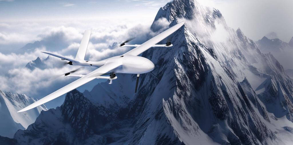
Drones have revolutionized aerial photography, surveillance, and recreational flying. However, their operation is subject to legal altitude limits to ensure safety in the airspace. In the United States and many other countries, drones are legally restricted to an altitude of 400 feet above ground level (AGL). This limit is set by aviation authorities like the Federal Aviation Administration (FAA) in the U.S. to prevent conflicts with manned aircraft, which typically operate above 500 feet.
While the 400-feet rule is a general guideline, there are exceptions. For instance, commercial drone pilots licensed under FAA Part 107 can fly above 400 feet if they are within 400 feet of a structure. This exception accommodates operations like tower inspections. However, securing FAA approval for flying above 400 feet involves extensive documentation and can take up to 90 days.
How High Can Drones Fly in Different Countries?
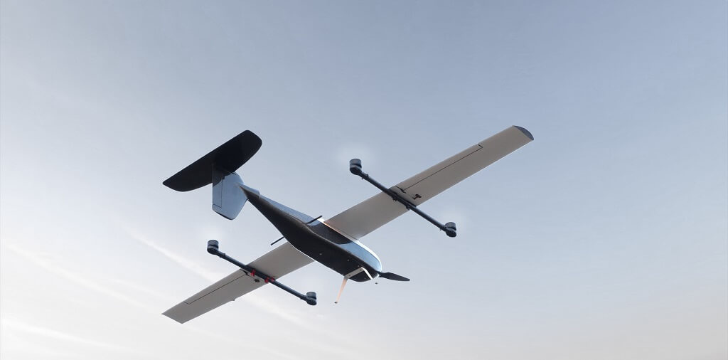
The operation of drones is subject to various altitude restrictions worldwide, designed to ensure the safety of both unmanned and manned aircraft. While a common altitude limit is observed globally, specific regulations can vary by country, reflecting local airspace considerations.
A widely accepted standard restricts drone flights to a maximum of 400 feet (approximately 120 meters) above ground level to prevent conflicts with manned aircraft. However, exceptions exist based on regional regulations and operational requirements.
Some countries have set unique altitude limits that deviate from the global standard, catering to their specific airspace safety and usage needs:
| Continent | Country | Maximum Altitude (feet/meters) |
|---|---|---|
| Europe | France | 492 feet (150 meters) |
| Europe | Germany | 230 feet (70 meters) for recreational; 492 feet (150 meters) for commercial |
| Europe | Italy | 230 feet (70 meters) for recreational; 492 feet (150 meters) for commercial |
| Europe | Netherlands | 394 feet (120 meters) |
| Europe | Poland | 492 feet (150 meters) |
| Europe | Russia | 492 feet (150 meters) |
| Europe | Spain | 384 feet (120 meters) |
| Europe | Ukraine | 400 feet (122 meters) |
| Europe | United Kingdom | 400 feet (122 meters) |
| Asia | China | 400 feet (122 meters) |
| Asia | India | 400 feet (122 meters) |
| Asia | Indonesia | 500 feet (150 meters) |
| Asia | Israel | 400 feet (122 meters) |
| Asia | Japan | 492 feet (150 meters) |
| Asia | Pakistan | 400 feet (122 meters) |
| Asia | Singapore | 200 feet (61 meters) |
| Asia | South Korea | 492 feet (150 meters) |
| Asia | Thailand | 300 feet (91 meters) |
| Asia | Turkey | 400 feet (122 meters) |
| North America | Canada | 400 feet (122 meters) |
| North America | Mexico | 400 feet (122 meters) |
| North America | Panama | 400 feet (122 meters) |
| North America | United States | 400 feet (122 meters) |
| South America | Argentina | 400 feet (122 meters) |
| South America | Brazil | 400 feet (122 meters) |
| South America | Chile | 400 feet (122 meters) |
| Africa | South Africa | 400 feet (122 meters) |
| Oceania | Australia | 400 feet (122 meters) |
Drone pilots must familiarize themselves with the specific altitude regulations of the countries in which they intend to fly. Compliance with these rules is essential for the safety of all airspace users and to avoid legal penalties.
How High Can Various Types of Drones Fly?
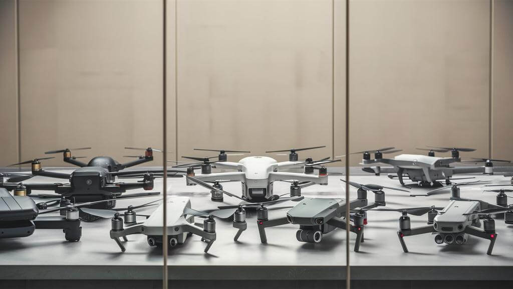
Different types of drones exhibit a wide range of altitude capabilities. Setting aside legal restrictions and focusing purely on technical aspects, let's explore the maximum heights various drone types can achieve based on their design and functionality.
Toy Drones: Typically, toy drones are designed to fly at altitudes of 100 to 150 feet. This limitation is primarily due to their smaller size, less powerful motors, and basic navigation systems. They are intended for recreational use in relatively confined spaces like backyards or parks, where lower altitudes are safer and more manageable.
Racing Drones: Racing drones are built for agility and speed, operating typically within 100 to 200 feet. This lower altitude range is intentional to facilitate close-range, high-speed maneuvering and to maintain visual line-of-sight control during races. Racing drones prioritize rapid directional changes and speed over altitude, making them ideal for competitive drone racing events.
Consumer Drones: Consumer drones, designed for the general public, often have a higher altitude capability, reaching up to 1,000 feet or more. However, their firmware usually restricts them to 400 feet to comply with regulations. This design choice balances the need for impressive aerial photography and videography capabilities with safety considerations and regulatory compliance.
Civilian Drones: Civilian drones, which include drones used for hobbyist photography, research, and non-commercial applications, can typically fly up to 1,500 feet. This higher altitude capability allows for a broader range of uses, such as environmental monitoring and academic research. The design of civilian drones often includes more advanced navigation and stabilization features to handle the challenges of higher-altitude flight.
Commercial Drones: Advanced commercial drones can reach altitudes exceeding 22,000 feet. These drones are equipped with powerful motors, enhanced battery life, and sophisticated navigation systems. This high-altitude capability is essential for tasks like aerial surveys, high-altitude photography, and industrial inspections, where a broad aerial perspective is crucial.
Police and Government Drones: These drones are typically used for surveillance, monitoring, and emergency response. They often fly at altitudes around 11,200 feet, similar to recreational drones. This altitude range is chosen to provide an optimal balance between wide-area coverage and the ability to capture detailed images or videos for law enforcement and public safety purposes.
Military Drones: Military drones are engineered to operate at altitudes over 50,000 feet. This extreme altitude capability is due to their strategic roles in reconnaissance, surveillance, and combat missions. High-altitude flight enables these drones to avoid detection and interception while gathering intelligence or carrying out operations. They are equipped with advanced propulsion systems, high-capacity fuel tanks, and state-of-the-art navigation technologies to sustain flight at these altitudes.
What Factors Affect the Flying Altitude of a Drone?
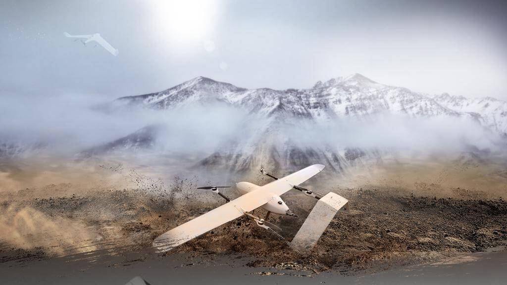
Exploring the factors that influence a drone's flying altitude reveals a complex interplay of design, environmental conditions, and operational parameters. Understanding these elements is crucial for maximizing a drone's altitude capabilities.
Drone Design and Technology
A drone's altitude capability is largely influenced by its overall design and technological features. The motor's power, the efficiency of the propellers, and the drone's weight are all critical. Powerful motors provide more lift, efficient propellers better utilize this power, and a lighter drone requires less effort to ascend. The interplay of these elements determines how high the drone can fly and how effectively it can maintain altitude in various conditions.
Key Drone Parameters
Several operational parameters of a drone, such as battery life, flight duration, and payload capacity, also dictate how high it can fly.
Battery Life: Longer battery life allows for extended flight times, giving drones the ability to climb higher and stay aloft longer. Battery efficiency decreases at colder temperatures found at higher altitudes, so high-capacity batteries are essential for high-altitude flights.
Flight Duration: The longer a drone can stay airborne, the higher it can potentially climb. Drones with extended flight durations are equipped to handle the energy demands of ascending to and maintaining high altitudes.
Payload Capacity: The ability to carry additional weight without compromising flight performance is crucial. Heavier payloads can limit a drone's altitude, so balancing the payload with the drone's lifting capacity is key.
Signal Transmission and Control Range
The altitude a drone can reach is also limited by the strength and range of its signal transmission. As a drone flies higher, the distance from its controller increases, which can weaken the signal and potentially lead to loss of control. Advanced drones with stronger transmitters and more sensitive receivers can maintain control at higher altitudes, but this is always a limiting factor in how high a drone can fly.
Environmental Conditions
Atmospheric Pressure and Air Density: With increasing altitude, air pressure drops, and air becomes less dense, making it harder for drones to generate the necessary lift. Drones need to work harder to push against thinner air, leading to increased battery consumption.
Temperature: Lower temperatures at higher altitudes can affect battery performance, reducing power and potentially causing malfunctions due to high humidity.
Wind and Turbulence: Increased wind speeds and turbulence at higher altitudes can challenge a drone's stability and control. Drones need to be equipped with advanced stabilization systems to handle these conditions.
Flying in Mountainous Terrain: Mountains can cause signal bounce and interference, affecting the drone's ability to maintain a stable connection with the controller. Additionally, understanding the updrafts and downdrafts common in mountainous regions is crucial for maintaining control and stability.
How to Make Sure You Stay Below the Limits
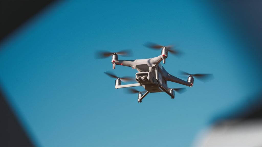
Ensuring your drone stays within legal altitude limits is crucial for safe and compliant flying. Here are refined strategies to help you maintain the appropriate altitude:
Use Built-in Limiters and Software
Modern drones are often equipped with built-in altitude limiters, a part of the drone's firmware, designed to prevent exceeding legal altitude limits. To effectively utilize these features:
Familiarize with Drone Settings: Spend time understanding your drone's specific settings and how to activate or adjust the altitude limiters.
Regular Firmware Updates: Keep the drone's firmware updated, as manufacturers often include enhancements or new features that can improve altitude control.
Customize Altitude Settings: If your drone allows, customize the altitude settings based on your flight plan and local regulations.
Monitor Altitude During Flight
Constant altitude monitoring during flight is essential. To effectively do this:
Use Controller Displays: Most drone controllers have a display showing real-time altitude. Always keep an eye on this during flight.
Mobile Device Apps: Utilize mobile apps connected to your drone for a more detailed view of your drone's altitude and other flight parameters.
Set Altitude Alerts: If your drone's software allows, set up alerts to notify you when approaching the maximum altitude limit.
Plan Your Flight Path
Careful planning of your flight path can prevent accidental altitude violations. To plan effectively:
Survey the Area: Before flying, survey the area for any tall structures, trees, or natural features that might necessitate altitude adjustments.
Use Mapping Tools: Utilize drone mapping tools or apps to pre-plan your flight path, taking into account the terrain and any potential obstacles.
Adjust for Local Regulations: Be aware of local regulations that might affect your flight path, especially in urban or controlled airspace areas.
How High Can You Fly a Drone near an Airport?
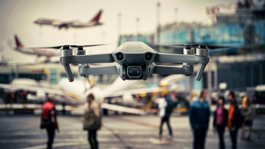
Flying a drone near an airport is a complex issue due to the potential safety hazards it poses, particularly the risk of collision with manned aircraft. Understanding and adhering to the regulations set by the Federal Aviation Administration (FAA) is crucial for drone pilots to ensure safe and legal operation in these areas.
FAA Regulations for Drones Near Airports
The FAA has established specific rules for flying drones near airports:
Proximity Restrictions: Drones must generally stay at least 5 miles away from airports. However, there are situations where a UAV operator can fly closer, such as during a shielded operation.
Altitude Limits: In controlled airspace, which typically surrounds airports, the maximum altitude for drone flights is often capped at 400 feet above ground level. However, the exact altitude limit can vary based on the airport's specific requirements and the UAS Facility Map for that area.
Class G Airspace: In uncontrolled (Class G) airspace, drones can fly up to 400 feet above ground level without prior authorization. However, pilots must still be cautious of aircraft activities and avoid interfering with airport operations.
Obtaining Authorization to Fly Near Airports
To legally fly a drone near an airport, pilots must follow these steps:
FAA Authorization: Pilots must obtain authorization from the FAA through the Low Altitude Authorization and Notification Capability (LAANC) system or the FAA DroneZone website.
Compliance with Part 107 Rules: Commercial drone operators must comply with Part 107 rules, which include obtaining necessary permissions for flying in controlled airspace.
Using LAANC and B4UFLY App: The LAANC system provides near-instant authorization for drone flights in controlled airspace, while the B4UFLY app offers real-time information on airspace restrictions, including those near airports.
FAQs
What Is the Highest a Drone Has Ever Flown?
When it comes to pushing the boundaries of drone flight, the Zephyr drone stands out as a remarkable example. Developed by Airbus Defense and Space, this solar-powered drone soared to new heights in 2021, setting a world record. The Zephyr achieved an astounding altitude of 76,100 feet (23,195 meters) and maintained flight for over 18 days. Designed specifically for high-altitude, long-endurance missions, the Zephyr represents the pinnacle of drone altitude capabilities.
What Happens if You Fly a Drone Above 400 Feet?
Flying a drone above 400 feet can lead to several significant risks and legal consequences.
Collision with Aircraft: The most serious risk is the potential collision with manned aircraft, which typically fly at altitudes above 500 feet. Flying a drone above 400 feet dangerously narrows the buffer zone, increasing the risk of a catastrophic collision.
Losing Signal: At higher altitudes, there's a greater chance of losing the control signal between the drone and the controller, leading to potential flyaways or uncontrolled landings.
Environmental Factors: Strong winds and colder temperatures at higher altitudes can affect the drone's performance and battery life, potentially leading to malfunctions.
Legal Consequences: If a drone is flown above 400 feet without proper authorization, the operator may face legal actions from aviation authorities like the FAA. These actions can include fines, which can range from $1,100 to $27,500, and in severe cases, up to $400,000. Additionally, the operator's flying privileges can be suspended or revoked, impacting their ability to legally operate drones in the future.
Can the Faa Track Your Drone?
The Federal Aviation Administration (FAA) can track drones through the implementation of Remote Identification (Remote ID). Remote ID acts as a digital 'license plate' for drones, providing identification and location information that can be received by other parties through a broadcast signal.
Which Sensor Is Used to Measure the Altitude of a Drone?
Drones commonly use barometric pressure sensors and GPS sensors to measure altitude. Barometric pressure sensors calculate altitude by measuring the atmospheric pressure, which decreases as altitude increases. GPS sensors provide altitude data by triangulating the drone's position relative to satellites. Together, these sensors allow drones to accurately determine and maintain their altitude during flight.
